Morgan Werner · 4 October 2026
Aquifer Depletion Reshapes Canyon Wall Stability Across the Colorado Plateau
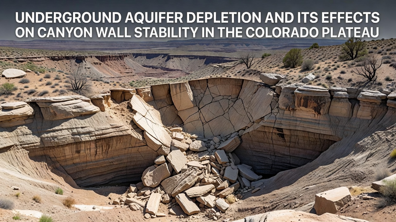
Underground aquifers beneath the Colorado Plateau supply water that has long supported the structural integrity of canyon walls, yet sustained withdrawal for agriculture, municipal use, and energy production continues to lower water tables across the region. Researchers at institutions such as the University of Arizona have documented how reduced pore pressure in sandstone and shale layers contributes to increased fracturing and rockfall events along escarpments in Utah, Colorado, Arizona, and New Mexico. The process unfolds gradually as groundwater levels drop, allowing previously saturated rock to dry and contract, which in turn concentrates stress along existing joints and bedding planes.
Mechanisms Driving Wall Instability
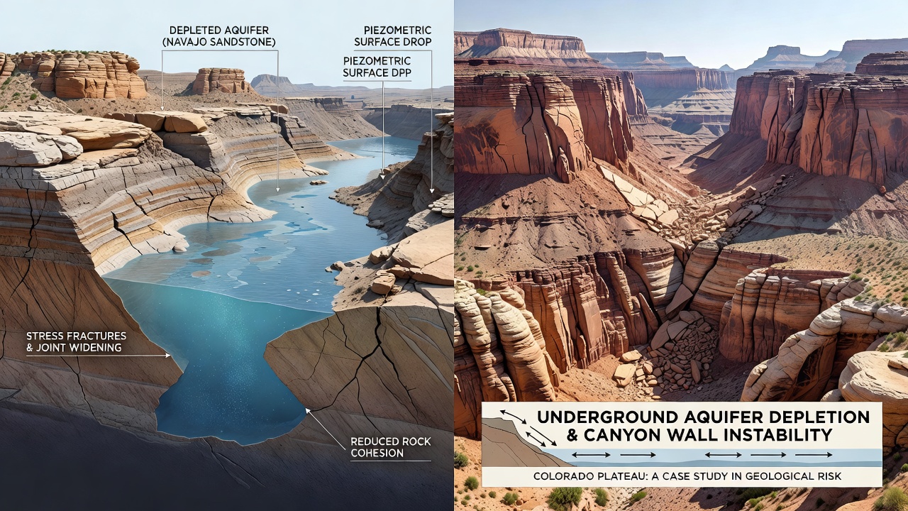
Groundwater extraction removes the hydrostatic support that keeps fine-grained sediments and fractured bedrock in place, while the loss of moisture also accelerates chemical weathering in some lithologies. Studies indicate that when water tables decline by more than 30 meters over several decades, the effective stress on canyon walls increases measurably, promoting toppling failures and slumping along steep faces. In the Grand Canyon and its tributaries, observers note that springs once fed by deep aquifers now flow at reduced rates or cease entirely during dry periods, leaving alcoves and overhangs more vulnerable to gravitational collapse. Data collected through October 2026 shows continued drawdown in several monitoring wells near Page, Arizona, and Moab, Utah, correlating with documented increases in rockfall frequency along popular hiking corridors.
Regional Patterns and Case Examples
The Colorado Plateau hosts multiple aquifer systems, including the Navajo Sandstone and deeper confined units that transmit water over long distances. When pumping exceeds natural recharge, particularly in areas with limited precipitation, the resulting cones of depression can extend several kilometers and intersect canyon rims. One study revealed that near Escalante, Utah, historic ranching wells have lowered local water levels enough to alter the moisture regime supporting hanging gardens, which in turn affects the root reinforcement that once stabilized thin soil mantles on vertical faces. Similar conditions appear near the San Juan River drainage, where coal-bed methane operations have drawn from the same formations that maintain canyon wall cohesion. These changes do not produce sudden catastrophic failures in every location, yet cumulative effects manifest as widening fissures and accelerated block detachment during seasonal freeze-thaw cycles.
Monitoring Approaches and Data Sources
Agencies including the US Geological Survey maintain networks of piezometers and stream gauges that track both water-level trends and sediment transport in plateau drainages. Satellite interferometry has supplemented ground measurements by detecting millimeter-scale surface deformation along canyon rims in the Four Corners region. When combined with repeat lidar surveys, these datasets allow researchers to model how progressive aquifer decline translates into measurable changes in wall angle and fracture aperture over multi-year timescales. A separate analysis from Australian research institutions examining analogous sandstone plateaus has provided comparative insights into how differing recharge rates influence long-term stability thresholds, although direct transfer of findings requires adjustment for local stratigraphy and climate.
Interactions With Surface Processes
Aquifer depletion rarely acts in isolation, because reduced baseflow alters the frequency and magnitude of flash floods that undercut canyon walls at their base. When springs diminish, tributary channels incise more rapidly during storm events, removing the talus that previously buttressed higher slopes. This feedback loop appears in several drainages where historical photographs show thicker debris accumulations than exist today. In addition, the drying of seeps changes local microclimates, allowing salt crystallization to proceed deeper into rock pores and further weaken cementation between grains. Those who have studied these coupled processes emphasize that projections of future wall behavior must incorporate both subsurface hydrology and surface geomorphic response.
Conclusion
Continued aquifer depletion across the Colorado Plateau modifies the geomechanical conditions that govern canyon wall stability through measurable reductions in pore pressure, increased effective stress, and altered surface-process regimes. Ongoing instrument networks and remote-sensing programs provide quantitative records of these changes, while comparative studies from other sandstone terrains supply additional context for interpreting regional trends. The physical record preserved in the plateau's cliffs documents how groundwater management decisions shape landscape evolution over human timescales.