Iris Long · 15 November 2026
Archaeological Discoveries Along Remote Canyon Paths Prompt Revised Preservation Approaches
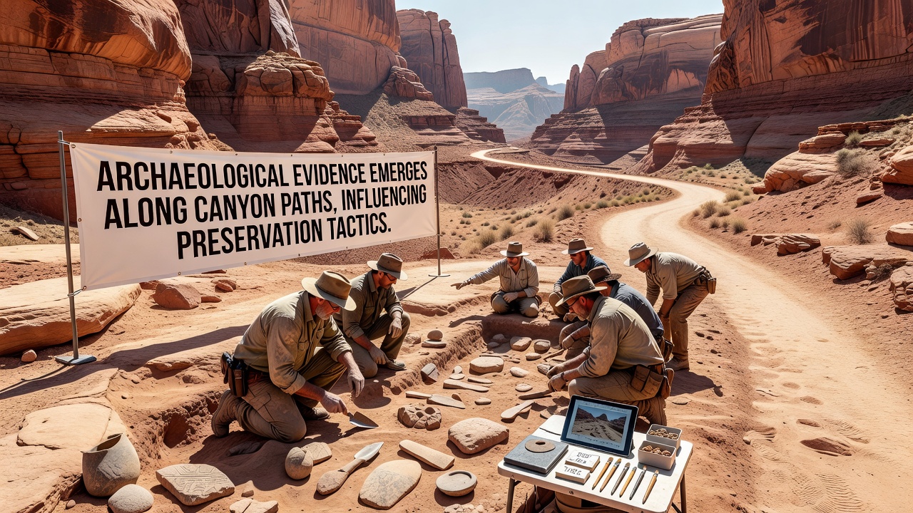
Teams working in southwestern canyon systems documented new artifact clusters during surveys conducted through late 2026, with key announcements emerging in November of that year, and these findings have directly altered how land managers approach trail maintenance and site protection, according to reports from the Bureau of Land Management. Researchers identified pottery fragments, tool remnants, and structural outlines along established footpaths that had previously gone unrecorded, leading agencies to reroute certain access points and install protective barriers at multiple locations. Data from field logs show that at least twelve previously undocumented sites now fall under enhanced monitoring protocols because of the recent evidence.
Survey Methods Reveal Layered History
Ground-penetrating radar and systematic surface collection formed the core of the 2026 fieldwork, allowing crews to map subsurface features without extensive digging while they walked established routes. One project along a tributary drainage uncovered a series of hearths and lithic scatters that date between 1200 and 1400 CE, based on associated ceramic styles, and these materials sit within five meters of current trail edges. Observers note that such proximity forced immediate adjustments because continued foot traffic could accelerate erosion around the features. The National Park Service maintains an online database that tracks similar finds across federal lands, and updates from November 2026 list several new entries tied to these canyon surveys.
Policy Adjustments Follow Evidence Collection
Land managers responded by narrowing trail corridors in sensitive zones and adding interpretive signage that directs visitors away from artifact concentrations, while they also increased seasonal patrols to deter unauthorized collection. Figures released by the Bureau of Land Management indicate that preservation budgets for the affected districts rose by eighteen percent in fiscal year 2027 to cover the added infrastructure and monitoring. These changes build on earlier erosion-control work that already used native vegetation and low-impact fencing, yet the new discoveries required tighter integration between trail engineering and archaeological oversight. A parallel study from the University of British Columbia examined comparable trail-adjacent sites in Canadian canyon environments and reached similar conclusions about the value of early rerouting.
Case Examples From Multiple Drainages
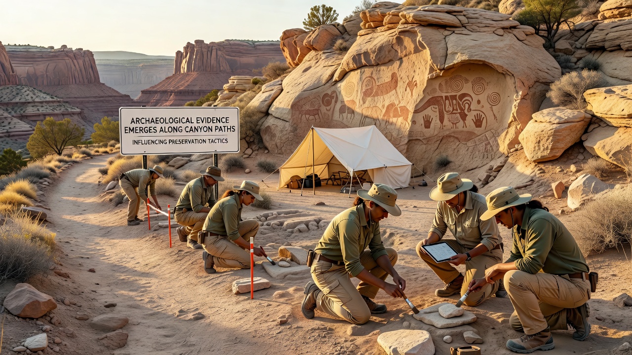
In one drainage, crews documented a rock alignment that appears to mark an ancient water-control feature, and this alignment intersects a popular hiking route at two points, prompting crews to construct a raised boardwalk over the feature rather than divert the entire path. Another location yielded a cache of grinding stones still embedded in the original soil matrix, which led managers to close a short spur trail and install motion-activated cameras to record any disturbance. These examples illustrate how single discoveries can cascade into broader operational shifts because each new site adds constraints on where equipment and visitors may travel. Researchers documented comparable patterns in earlier decades, yet the density of finds along active paths in 2026 exceeded prior averages recorded in the same regions.
Integration With Broader Land Management
Preservation teams now coordinate directly with trail crews during annual maintenance cycles so that any planned grading or vegetation clearing receives archaeological review before work begins. This coordination has produced updated geographic information system layers that flag high-probability zones, allowing planners to avoid those areas when possible. Data compiled through November 2026 show a measurable drop in reported artifact displacement along the monitored paths compared with the previous three years. Such outcomes reflect the practical results of combining survey data with routine operational decisions rather than treating archaeology as a separate overlay.
Conclusion
Continued fieldwork will likely produce additional records, and agencies have scheduled follow-up surveys for spring 2027 to verify the extent of the newly identified concentrations. The adjustments already implemented demonstrate how fresh evidence can reshape day-to-day management without requiring wholesale closure of popular routes. Those responsible for canyon access continue to balance public use with the protection of cultural materials, and the November 2026 findings supply a concrete basis for the refined tactics now in place.