Katja Günther · 6 September 2026
Bridging Erosion Research and Native-Led Strategies for Managing Flash Flood Risks in Dry Canyon Terrains
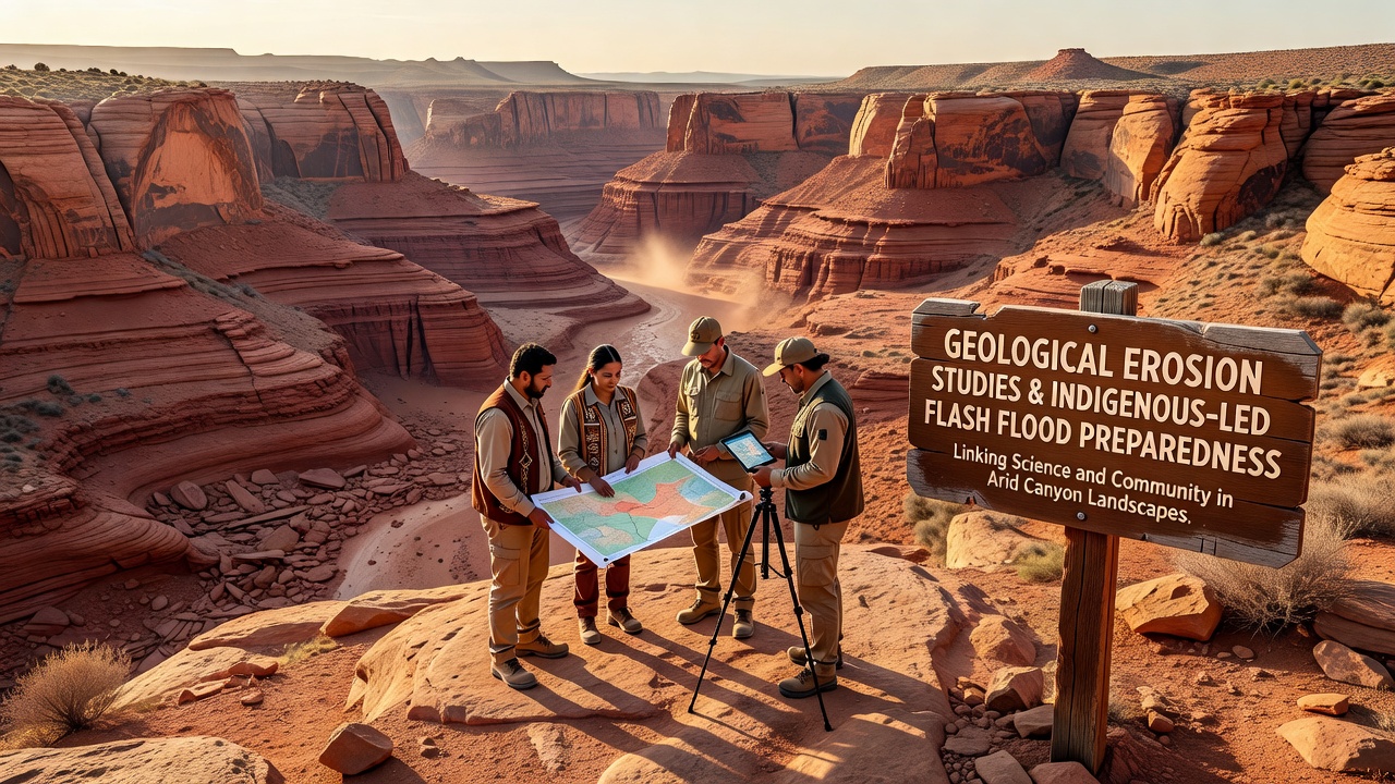
Arid canyon landscapes experience ongoing geological erosion driven by episodic rainfall, wind abrasion, and sediment movement, and researchers document these processes through field measurements that track changes in channel morphology over decades. Studies from multiple regions show how flash floods accelerate erosion rates, reshaping valley floors and depositing debris that alters future water flow paths. Indigenous communities have maintained detailed observations of these same landscapes for generations, recording seasonal patterns in water behavior and soil stability that align with contemporary geological data sets.
Erosion Mechanisms in Arid Canyon Systems
Geological surveys identify several primary drivers of erosion in dry canyon environments, including high-intensity precipitation events that generate rapid runoff across exposed bedrock surfaces. Data collected by government agencies indicate that sediment yields increase substantially during flash flood episodes, with particles ranging from fine silt to large boulders transported downstream in single events. Researchers have mapped how repeated cycles of wetting and drying weaken rock strata, creating conditions where small cracks expand into larger fractures that contribute to slope failures.
Long-term monitoring programs reveal that erosion rates vary according to rock type, slope angle, and vegetation cover, while remote sensing techniques now allow scientists to quantify surface changes at high resolution across wide areas. These measurements provide baseline information that communities use when planning infrastructure placement and evacuation routes in flood-prone zones.
Indigenous Knowledge Integration
Indigenous-led initiatives combine traditional ecological knowledge with geological findings to develop localized preparedness plans, and several tribal organizations have established monitoring stations that record both physical measurements and oral histories of past flood events. Observers note that this dual approach identifies subtle landscape indicators, such as changes in plant distribution or animal behavior, that often precede major runoff episodes. Collaborative projects in arid regions of North America and Australia demonstrate how elders and geologists work together to interpret erosion features within cultural frameworks that emphasize long-term land stewardship.
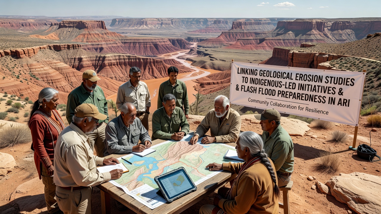
Programs supported by research institutions have produced maps that overlay indigenous place names and historical flood narratives onto modern topographic data, creating resources that emergency responders reference during planning exercises. These efforts strengthen community capacity to anticipate hazards while preserving cultural connections to the land.
Flash Flood Preparedness Applications
Preparedness strategies informed by integrated erosion studies focus on early warning systems that account for both geological triggers and traditional indicators, and regional authorities have installed sensor networks along major drainage channels to detect rising water levels in real time. Community training sessions emphasize recognition of pre-flood signs such as increased sediment in streams or unusual cloud formations, drawing directly from indigenous observations compiled over centuries.
According to reports from the U.S. Geological Survey, coordinated monitoring improves response times by providing accurate forecasts of flood magnitude based on upstream erosion conditions. In September 2026, scheduled joint workshops will test updated protocols that merge sensor data with indigenous forecasting methods across multiple canyon sites, allowing participants to evaluate effectiveness under controlled scenarios.
Case examples from arid zones in the southwestern United States and central Australia show that communities using combined knowledge systems experience reduced property damage during flood seasons because evacuation decisions occur earlier and evacuation routes avoid newly eroded areas. Local governments have begun incorporating these findings into land-use regulations that restrict development in high-risk corridors identified through collaborative mapping.
Future Monitoring and Collaboration
Ongoing research projects continue to refine models that predict how climate variability may alter erosion patterns and flood frequency in canyon landscapes, and partnerships between academic institutions and indigenous groups supply the diverse data sets needed for robust projections. Funding from national science agencies supports equipment upgrades that enable finer-scale tracking of sediment movement, while community members contribute ground-truth observations that validate remote measurements.
These developments indicate that sustained integration of geological studies with indigenous-led initiatives will remain central to effective flash flood preparedness as arid regions face changing environmental conditions. Documentation of successful projects provides templates that other canyon communities can adapt to their specific geological and cultural contexts.
Conclusion
Linking erosion research with indigenous initiatives creates practical tools for flash flood management in arid canyon landscapes, and continued data sharing between scientific and traditional knowledge holders supports more accurate risk assessments. Regional programs scheduled through 2026 and beyond will test these integrated approaches across additional sites, generating records that future planners can reference when designing resilient infrastructure and response strategies.