Harper Jung · 20 September 2026
Indigenous Knowledge Systems Guiding Erosion Mitigation and Biodiversity Monitoring in Southwestern Canyon Environments
Indigenous communities across the southwestern United States have developed detailed systems for managing erosion and tracking wildlife that rely on generations of observation and adaptation to arid canyon landscapes. These methods integrate physical structures with seasonal monitoring techniques that address both soil stability and animal population changes in regions where flash floods and drought cycles dominate environmental conditions. Researchers have documented how tribes such as the Navajo, Hopi, and Zuni apply these approaches in areas managed by federal agencies including the Bureau of Land Management and the National Park Service.
Traditional Erosion Control Techniques in Canyon Terrain
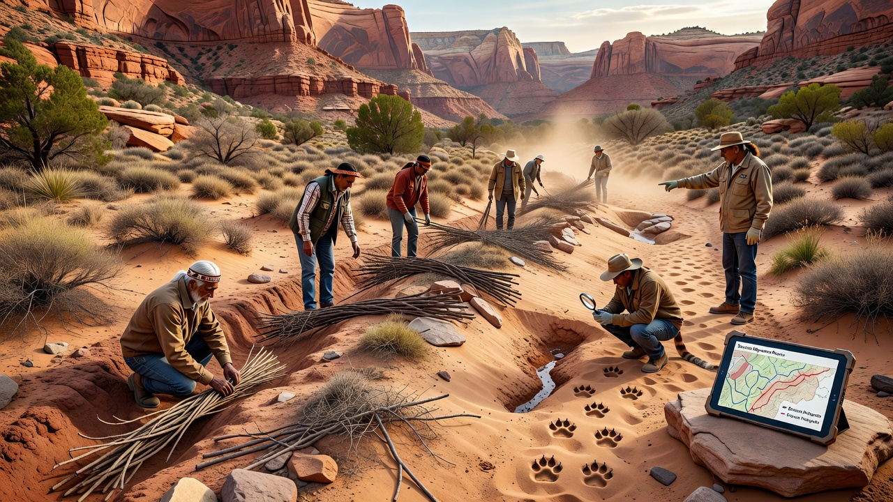
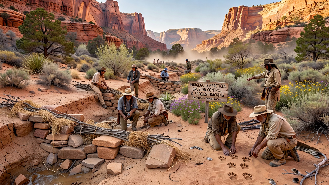
Communities construct low stone check dams and contour terraces that slow water flow during monsoon events while allowing sediment to accumulate behind barriers and rebuild soil layers over time. These structures often incorporate local materials like sandstone and basalt arranged in patterns that follow natural drainage lines rather than imposing straight alignments across slopes. Data from long-term monitoring sites show reduced gully formation rates when such features receive regular maintenance before seasonal rains arrive each year.
Vegetation management forms another core element where practitioners select and propagate native species with deep root systems suited to canyon microclimates. Plantings occur along banks and in side canyons to anchor loose material and intercept runoff before it gains momentum. Studies conducted through partnerships with university extension programs indicate these combined approaches maintain higher soil moisture retention compared to untreated slopes during extended dry periods.
Species Tracking Methods Rooted in Observational Knowledge
Tracking protocols rely on recognition of subtle signs including track patterns, scat composition, and vegetation disturbance that signal presence or movement of species such as bighorn sheep, mule deer, and various reptiles. Observers record these indicators at fixed locations visited on consistent schedules aligned with lunar cycles and plant phenology stages. Such records create baseline datasets that communities compare against current conditions to detect shifts in distribution or behavior.
Integration of these observations with camera trap networks has expanded coverage in remote sections of canyons where direct access remains limited. Participants note changes in activity peaks around water sources and report findings to regional wildlife agencies for broader analysis. In September 2026 several collaborative projects plan to release updated mapping tools that combine traditional indicators with satellite imagery to highlight areas experiencing increased erosion pressure alongside wildlife corridor alterations.
Combining Knowledge Systems with Contemporary Research
Agencies and tribal resource departments coordinate on projects that test the effectiveness of traditional structures against modeled flood scenarios generated by hydrological software. Results from sites in northern Arizona and southern Utah demonstrate measurable decreases in sediment transport when maintenance follows protocols developed through joint workshops. These efforts also incorporate species presence data collected via both visual surveys and acoustic sensors placed near known migration routes.
Training programs transmit the observational skills required for accurate tracking to younger community members while introducing digital recording tools that standardize data entry. Participants document variables such as soil moisture levels at structure locations and animal sign density within defined transects. This dual approach supports both immediate management decisions and longer-term trend identification across multiple canyon systems.
Regional Applications and Ongoing Documentation
Implementation varies by canyon geology and tribal jurisdiction with some groups emphasizing rock alignments in narrower drainages while others focus on dispersed vegetation buffers in wider basins. Reports from the U.S. Geological Survey highlight how these localized adaptations address specific erosion patterns tied to underlying rock types and slope angles. Similar documentation appears in studies from research institutions examining parallel techniques in comparable arid environments worldwide.
Species monitoring records contribute to regional assessments of habitat connectivity that inform decisions about trail routing and restoration priorities. Data collected over multiple seasons reveal correlations between maintained erosion features and sustained wildlife use of certain canyon sections during periods of water scarcity. In 2026 updated protocols scheduled for release will incorporate feedback from field crews operating in both spring and fall monitoring windows.
Conclusion
Indigenous practices continue to shape erosion control and species tracking efforts across southwestern canyon systems through structures, observational routines, and collaborative data frameworks that operate alongside modern tools. These methods provide measurable outcomes in soil retention and wildlife documentation that agencies and communities use to guide management in dynamic arid environments. Ongoing coordination ensures the transmission of techniques while expanding their application through integrated research initiatives.