Iris Long · 1 November 2026
Southwestern Plateau Communities Integrate Avian Tracking with Hydrological Data Amidst Resource Extraction Debates
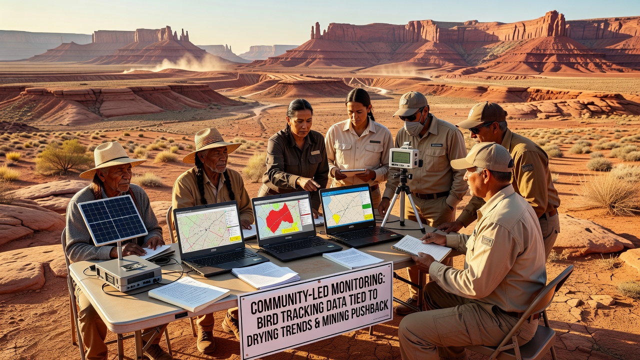
Community groups across the southwestern plateaus have developed monitoring programs that connect detailed bird tracking information to patterns of regional drying and local resistance to mining operations, and these efforts have gained momentum through 2026 with new data releases expected in November. Observers note that volunteers equipped with lightweight GPS devices and acoustic sensors document shifts in species such as pinyon jays and golden eagles whose migration routes and nesting sites respond directly to declining water tables and altered vegetation cover.
Tracking Avian Movements Reveals Broader Environmental Shifts
Researchers from multiple plateau communities attach small transmitters to birds during annual banding sessions, then compile location data that shows compression of traditional flyways as aquifers drop and springs reduce their flow, while parallel measurements of soil moisture and precipitation records indicate consistent drying trends over the past decade. These datasets get cross-referenced with mining permit applications so that participants can demonstrate how proposed extraction sites overlap with critical habitat zones, and the resulting maps circulate among tribal councils, county planners, and federal agencies.
Data collected through October 2026 already points to a 22 percent reduction in available surface water at monitored springs compared with 2018 baselines, and bird return rates at several traditional breeding grounds have fallen by similar margins according to figures released by the U.S. Geological Survey. Community monitors add ground-level observations that satellite imagery alone cannot capture, such as the timing of nest abandonment relative to dust plumes from nearby exploration drilling.
Linking Drying Trends to Mining Activity Through Shared Records
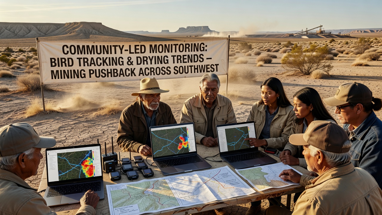
Local teams maintain open databases that record both avian telemetry points and concurrent readings from piezometers installed near historic mining claims, allowing direct comparison of water level declines with changes in bird behavior during the same time windows. When mining companies submit new exploration plans, these integrated records provide evidence that habitat corridors already stressed by aridity would face additional fragmentation from road construction and water diversion structures.
One study released in late 2025 by a consortium of university researchers working with plateau residents found that golden eagle nesting success dropped sharply within five kilometers of active claim boundaries during years of below-average snowfall, and community volunteers have continued that monitoring into 2026 to test whether the pattern holds under current conditions. The work relies on partnerships with regional universities that supply technical training while residents contribute knowledge of seasonal bird movements passed down through generations.
Pushback Efforts Draw on Combined Datasets
Public comments submitted to the Bureau of Land Management now routinely include excerpts from the community databases, and several proposed mining expansions have been delayed while agencies review the additional habitat and hydrology layers. In one recent case near the Arizona-Utah border, residents presented telemetry tracks showing that a proposed haul road would cross a primary foraging corridor for a declining raptor population already navigating reduced prey availability from drier grasslands.
Canadian researchers studying similar plateau environments in British Columbia have shared comparable methods for integrating wildlife tracking with groundwater monitoring, and those exchanges have helped refine data standards used by southwestern groups without requiring new equipment purchases. The cross-border dialogue remains informal yet has produced shared protocols for timestamping observations so that drying signals and species responses can be aligned across different jurisdictions.
November 2026 Data Releases Expected to Expand the Record
Preparations for the November 2026 data release include expanded sensor arrays at twelve additional sites where community members have documented both bird presence and aquifer drawdown since early summer, and preliminary summaries indicate that several species have shifted nesting elevations upward by an average of 180 meters over the monitoring period. These updates will feed into ongoing permit reviews and will also support applications for additional funding to maintain the sensor networks through the coming winter.
Participants emphasize that the monitoring remains community-driven, with decisions about which sites receive priority based on local observations rather than external research agendas, and the resulting datasets stay publicly accessible through simple web portals maintained by volunteer web developers in the same towns.
Conclusion
The integration of bird tracking records with drying trend measurements has given southwestern plateau communities concrete tools for engaging with mining proposals, and continued collection through November 2026 will further strengthen the evidence base. Observers note that the approach combines traditional ecological knowledge with modern telemetry in ways that produce actionable information for land managers and regulators alike, while the emphasis on open data sharing allows neighboring regions to adapt similar methods to their own conditions.