Morgan Werner · 18 October 2026
Southwestern Plateau Groups Unite in Multi-Site Monitoring to Connect Avian Patterns, Aquifer Dynamics, and Trail Maintenance
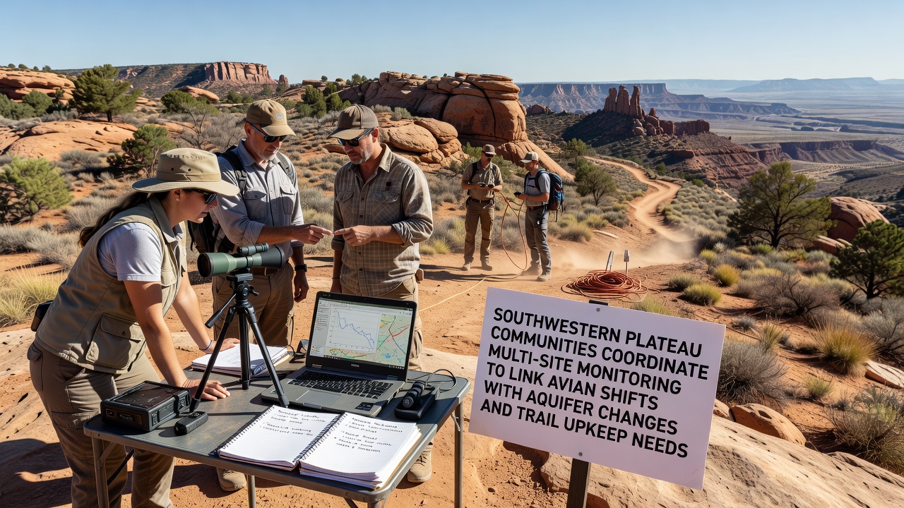
Communities across the Southwestern Plateau have established a network of monitoring stations that gather simultaneous data on bird population movements, groundwater level fluctuations, and trail surface conditions, and this effort builds on earlier regional studies while expanding coverage to additional sites in October 2026. Researchers from multiple agencies coordinate these locations to identify how changes in aquifer recharge influence vegetation that supports migratory birds and how the same shifts contribute to erosion along popular hiking routes. Data collection occurs through automated sensors paired with field observations, allowing teams to compare readings across elevations and geological formations.
Establishing the Monitoring Network
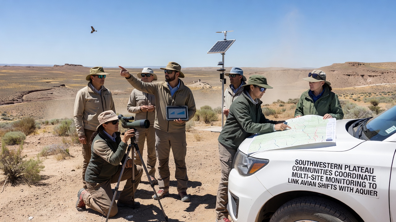
Local governments, tribal resource offices, and university field teams selected twelve primary sites that span from high desert plateaus to canyon rims, each equipped with acoustic recorders for avian calls, piezometers for aquifer measurements, and trail cameras plus soil probes for upkeep assessments. The setup allows continuous logging that feeds into a shared database, and periodic joint reviews occur to adjust sensor placement based on seasonal patterns. Observers note that coordination reduces duplication while increasing the spatial resolution of findings, particularly where bird habitats overlap with unstable trail sections.
Linking Avian Shifts to Aquifer Changes
Studies conducted over the past five years show that declines in aquifer levels correspond with reduced spring flow, which in turn affects the density of riparian vegetation used by species such as the southwestern willow flycatcher and various warblers. Acoustic data from the network reveal timing shifts in arrival and departure dates, with some populations moving to higher elevations when lower sites experience drier conditions. Figures from the U.S. Geological Survey indicate that groundwater drawdown of several meters over a decade correlates with measurable drops in bird species richness at affected locations. Teams cross-reference these records with precipitation and pumping data to distinguish natural variability from human-influenced trends.
Integrating Trail Upkeep Requirements
Trail degradation often accelerates where vegetation loss exposes soil to runoff, and the monitoring program tracks both surface cracking and sediment movement alongside the avian and aquifer metrics. Maintenance crews receive alerts when probe readings exceed thresholds, enabling targeted repairs before paths become impassable. One study revealed that sections near depleted springs required reinforcement 30 percent more frequently than those near stable water sources, prompting planners to prioritize vegetation restoration along those corridors. The combined dataset supports decisions on where to install water bars, reroute paths, or limit access during vulnerable periods.
Data Sharing and October 2026 Milestones
Participants upload standardized reports to a central platform that allows real-time visualization of trends across the plateau, and quarterly workshops rotate among participating communities to review anomalies. In October 2026 the network plans to release an updated atlas that maps correlations between specific aquifer drawdown rates and documented changes in bird distributions plus trail maintenance logs. This release incorporates two additional sites added earlier in the year, extending coverage into previously under-monitored transition zones between plateau and canyon environments.
Broader Regional Context
Similar monitoring approaches appear in other dryland regions, such as efforts documented by Australia's Commonwealth Scientific and Industrial Research Organisation, where groundwater and biodiversity data are linked to land management. Within the Southwestern Plateau the current program emphasizes local adaptation, incorporating indigenous knowledge of seasonal cycles alongside instrument readings. The resulting models help forecast how continued aquifer stress might alter both ecological communities and recreational infrastructure over the next decade.
Conclusion
The coordinated monitoring initiative demonstrates how integrated data collection across multiple environmental variables supports informed management of the Southwestern Plateau. By connecting avian movement records with aquifer measurements and trail condition assessments, participating groups generate actionable insights that address habitat needs and public access requirements in a single framework. Ongoing expansion and data releases scheduled through late 2026 will further refine these linkages, providing a template for other arid landscapes facing comparable pressures.